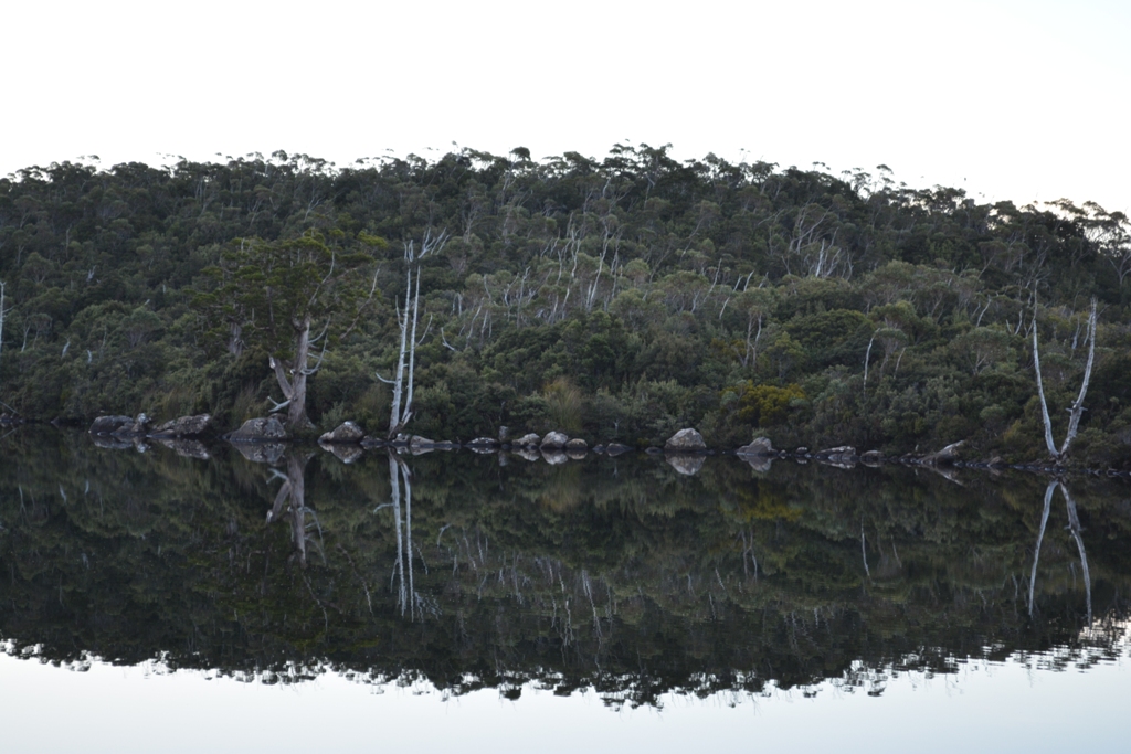
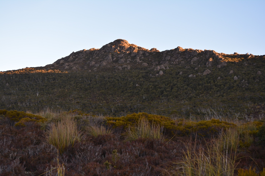
Where i found Pencil Pine:
Pine Lake: more than 100
Lake Dobson & Eagle Tarn
Lake Osborne: about 3-4 seen
Tarn Shelf
Where i found King Billy Pine:
Lake Osborne
Woodland Walk area
Where i found Fagus:
Woodland Walk area
Tarn Shelf
Explore!

Saturday, 14 March 2015
Liffery Falls Nature Walk
Type: walk
Length: 45 minutes return (1km one way)
Difficulty: easy - downhill
Highlights: rainforest & waterfall
Location: Liffey Falls State Reserve, Tasmania, Australia
The walk is nested in cool temperate rainforest on the slopes of the Great Western Tiers. It comes to one of the prettiest waterfall in the state.
How to get there
From Hobart, take the Midlands Highway to Melton Mowbray. Turn left to Bothwell and continue across the Central Plateau to the Liffey Falls turn-off.
From Launceston, the upper section of the reserve can be reached by following the Bass Highway west to Deloraine. Just before the bridge at Deloraine, turn left onto the A5. You should see a sign for the reserve on this highway, if you reach Pine Lake you went too far.
 |
| The falls. |
Friday, 13 March 2015
Lake Osborne Tasmania
Type: walk
Length: 40 minutes return
Difficulty: easy
Highlights: variety of forest and moorland leading to a lake
Location: Hartz Mountains National Park, Tasmania, Australia
Length: 40 minutes return
Difficulty: easy
Highlights: variety of forest and moorland leading to a lake
Location: Hartz Mountains National Park, Tasmania, Australia
Lake Osborne is an ideal start for those who want to see a variety of forest and moorland. The walk comes through a rainforest, woodland, and open moorland leading you to the lake which is fringed with King Billy Pine.
how to get there
The National Park is 84 km south-west of Hobart, drive on the Southern Outlet, following the signs to Huonville and Geeveston. In Geeveston turn right to the Arve Road. A sign marks the turn-off to the National Park. Drive to the end of the road which is named Hartz Road, there you will see the start of the walk.
Thursday, 12 March 2015
Seagers Lookout
 Type: walk
Length: 1.5 - 2 hours return
Difficulty: easy - few muddy spots here and there - large flat rocks
Highlights: views into the southwest wilderness
Location: Mount Field National Park, Tasmania, Australia
Seagers Lookout is a walk to a rocky area that offers views of the southwest wilderness. While your there, the 10 minute return Woodland Walk near Lake Fenton is worth a visit.
How to get there
When you enter the national park on the way to the Southwest National Park, take the road going up the mountain (Lake Dobson Road), this leads you to the Sub-alpine area, you know when you have reached this zone once you see the Woodland Walk. You can park your car there or in the next parking bay, if you reach Lake Dobson you went too far. Now walk to the dam at Lake Fenton, you should see a sign for the Seagers Lookout walk.
 |
| King Billy Pine near the Woodland Walk, beech also grows here. |
Wednesday, 11 March 2015
Snug Falls Track
Type: walk
Length: 45 minutes return
Difficultly: Moderate - rocks & roots
Highlights: waterfall with rainforest species
Location: Snug, Tasmania, Australia
Length: 45 minutes return
Difficultly: Moderate - rocks & roots
Highlights: waterfall with rainforest species
Location: Snug, Tasmania, Australia
The Snug Falls Track is a walk that goes to a 25-30m waterfall hidden around small cliffs.
How to get there
The town Snug is about 25k from Hobart and south of Kingston. When you are almost at the middle of the town take Snug Tiers Road to the west and drive about 4km, turn left to the Snug Falls Road at the fork in the road, now you will soon see the sign for the parking bays 100m before the trailhead.
 |
| Snug Falls |
 |
| The track. |
Monday, 9 March 2015
Pencil Pine & King Billy Pine
 |
| Pencil Pine at Pine Lake |
| Kingdom: Planae | ||||||||||||||||||||||||||||||
| Division: Pinophyta | ||||||||||||||||||||||||||||||
| Class: Pinopsida | ||||||||||||||||||||||||||||||
| Order: Pinalea | ||||||||||||||||||||||||||||||
| Family: Cupressaceae | ||||||||||||||||||||||||||||||
| Genus: Athrotaxis |
The Genus
Athrotaxis is a Genes of 2-3 species, all are endemic to Tasmania and threatened by fire but logging, sheep, and rabbits have also effected the population. They may reach ages of greater than 1200 years and are generally found above 800m around highland lakes and tarns. The common names of the 2 species are Pencil Pine and King Billy Pine with the third species also called King Billy Pine although they are not members of the Pine family.
Pencil Pine (Athrotaxis cupressoides)
 |
| Pencil Pine at Pine Lake, above Great Lake |
The Pencil Pine (Athrotaxis cupressoides) is found at 700–1,300m altitude, more commonly seen around 1000m-1300m.
A large proportion of the species' range was severely affected by major fires in 1960–1961.
King Billy pine (Athrotaxis selaginoides)
 |
| King Billy Pine at Lake Osborne, Hartz Mt NP |
King Billy Pine (Athrotaxis laxifolia)
This species grows at 1000 - 1200m, with little known about the plant and it is strongly suspected of being a natural hybrid between the other two species; however, genetic evidence for this is inconclusive.
Where to see Pencil Pine?
 |
| King Billy Pine near Woodland Walk, Mt Field |
Pencil Pine Falls, and the Tarn Shelf. This species is rare on the southern mountains.
Where to see King Billy Pine?
A great place to see King Billy Pine is at Lake Osborne in Hartz Mountains National Park. Another good spot is the Woodland Walk at Mt Field National Park.
Where to see Athrotaxis laxifolia?
The only places that I heard where to find this species is on the Overland
Track, and the Tarn Shelf.
 | |||||||
| Athrotaxis at the Tarn Shelf, Mt Field National Park |
Links:
Tarn Shelf

Type: walk
Length: 4 hrs return
Difficultly: moderate
Highlights: tarns with rare plants
Location: Mount Field National Park, Tasmania, Australia
The Tarn Shelf is a delightful series of small lakes with rare plants such us, Beech (Fagus) and Pencil Pine (Athrotaxis cupressoides).
 |
While coming to the Tarn Shelf you will find Lake Seal Lookout.
|
.JPG) |
| Here it is on Aug 2014. |
 |
| The first two tarns of the Tarn Shelf. |
 |
| Athrotaxis forest. |
 |
| More of the Tarn Shelf. |
 |
| Last tarn on the walk. You can walk back the same way or take another track. |
Subscribe to:
Comments (Atom)


